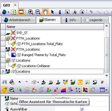
Step by step

Launch |
Start directly with the "Assistant for Thematic Maps"".
|
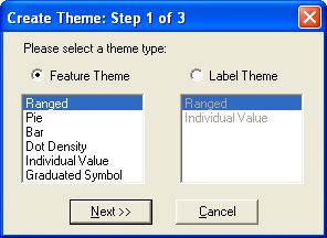
Select type |
Select "Ranged" and click on Next
|
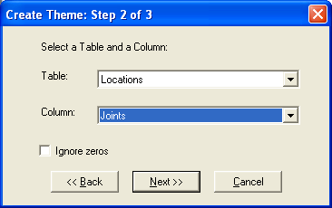
Layer & Data Field |
Select the Locations layer and the Joints data field. Note: Only number fields are offered!
|
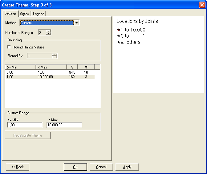
Define Areas |
Define the areas in which a display should be valid. If the range cannot be calculated using functions from the "Method" selection, set to "Custom", define the number of ranges and the range limits per range.
|
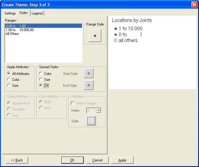
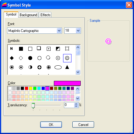
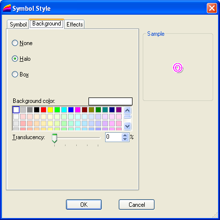
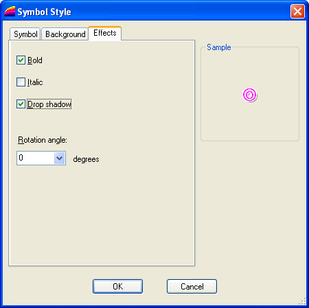
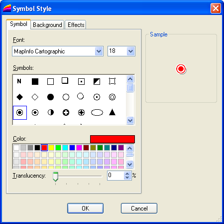
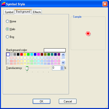
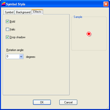
Define styles |
Now switch to the "Styles" tab.
Now define a style for each area.
|
Range 0.. 1 |
|
Section 1.. 10000 |
|