Highlighting
When you open the detail page of any entity in the system, ConnectMaster Online will try to find the object or objects in the map and highlight them.

A little highlight indicator is present in the lower right side of the map while the system is looking for a match in the visible layers.
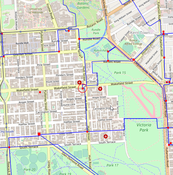
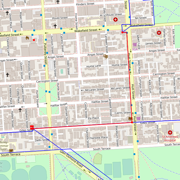
Points are highlighted with a red circle and points is default highlighted with a red overlaying line though the color of the line can be changed in the configuration.
|
Highlighted line |
ConnectMaster Online will try to highlight any object even though it has no coordinates or any GIS object in any of the visible layers. If it does not find a direct match it will keep looking for object related that have coordinates.
I.e.
A network element can be highlighted because the location it is on have coordinates.
A cable can be highlighted because the it has A and Z locations which have coordinates.


